PHOTOGRAMMETRY
PRECISION AT SCALE
Using a geo-referenced map, measuring and quantifying areas and objects becomes a swift task, eliminating the need for several days of ground survey work. Our high-resolution orthomosaics guarantee precision of up to 2 cm on the majority of projects, facilitating seamless integration into your preferred GIS workflow for accurate calculations and informed decision-making.


LAND SURVEY, the key
To achieve optimal accuracy in Geo-positioning processes, we conduct RTK land survey for each assignment, obtaining centimeter-level precision Ground Control Points that will be concatenated to the project workflow.
a universe of possibilities
Utilizing meta-information extracted from geo-referenced orthomosaics, you can generate point clouds, 3D digital surfaces, and terrain simulations. This detailed model facilitates interactive exploration and empowers you to conduct various calculations, including distance, area, stockpile measurements, and beyond

fall in love with our features

A High-Standard Product
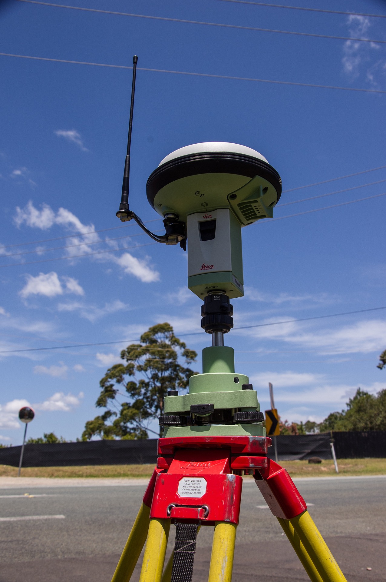
Precise Geo-Positioning, reaching up to 1-2 cm horizontal and 2-3 cm vertical accuracy for most projects in correction coverage areas. The level of map resolution will depend of several factors affecting the mission, however, most projects can be around 1.75 cm/pixel range. The most common coordinate system used is WGS84.
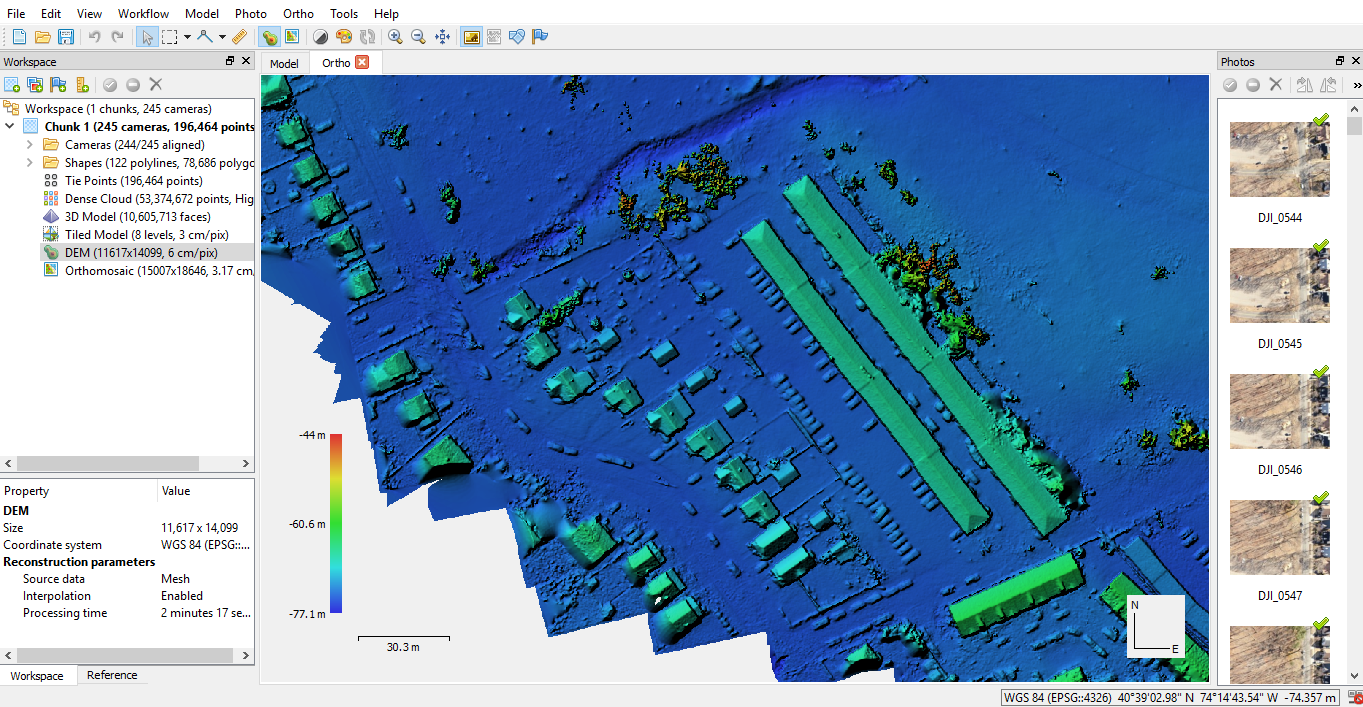
Deliverables
Typical package contains: 1 Geo-referenced Orthomosaic (.tif), 1 Digital Elevation Model (.tif), 1 Contour Shape file (.dxf), Engineering Report (.pdf) including: Survey Data, Equipment features and Processing Parameters. You can customize your package according to your needs, for instance, requesting a 3D model of your land, or receiving multiple additional file formats (.dwg, .gpx, .kml, .png, etc.)