Utilizing UAVs enhances surveying efficiency and facilitates comprehensive information provision. A brief flight can yield both 2D and 3D models, enabling advanced analysis, computations, and informed decision-making.
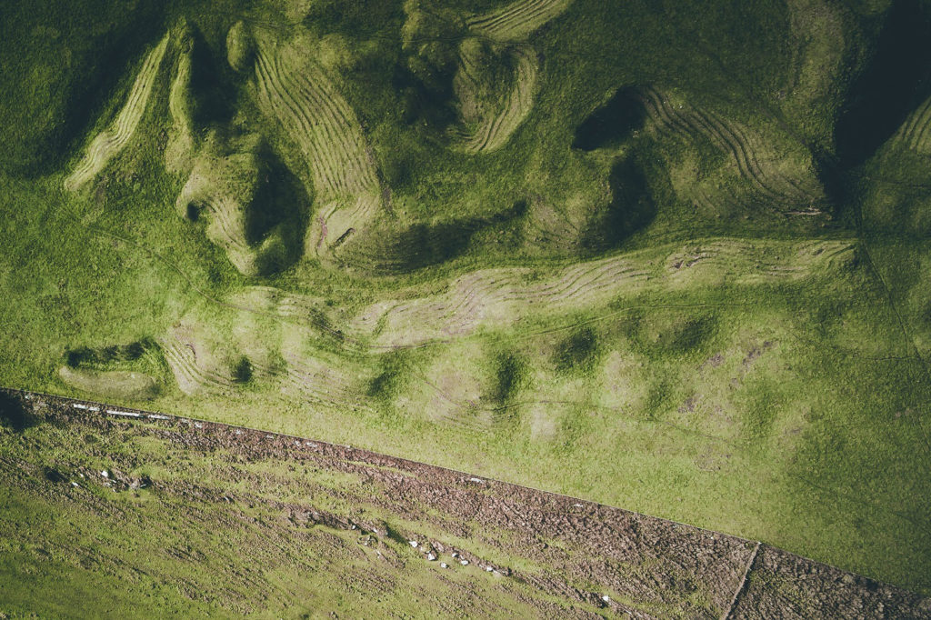
aerial Photogrammetry
Geo-referenced orthomosaics and drone mapping survey, centimeter-level positioning, ready for your preferred GIS workflow, measurements, and calculations.
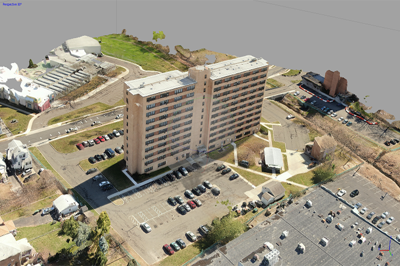
3D MODELING & MAPPING
High-detail Digital 3D models, Point Cloud based. Applicable to structures, buildings, statues, land, etc.
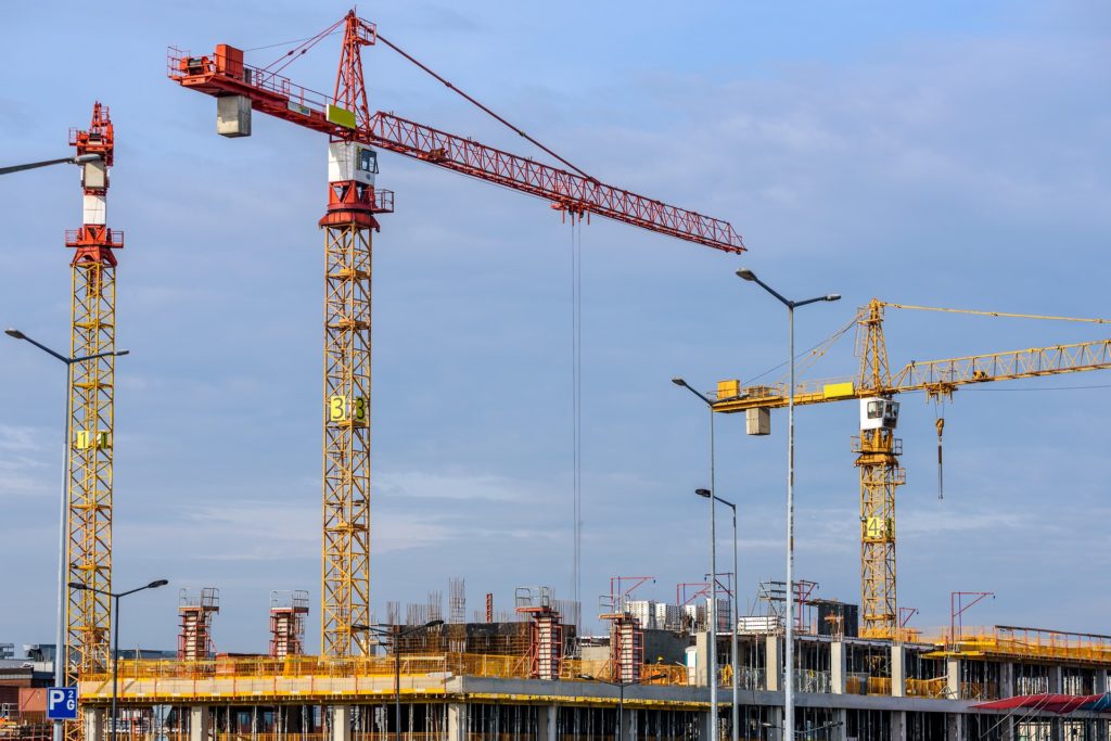
TRACKING PROGRESS
Progress monitoring of any kind of project. Flown monthly, bi-monthly, or custom-dated flights according to your needs.
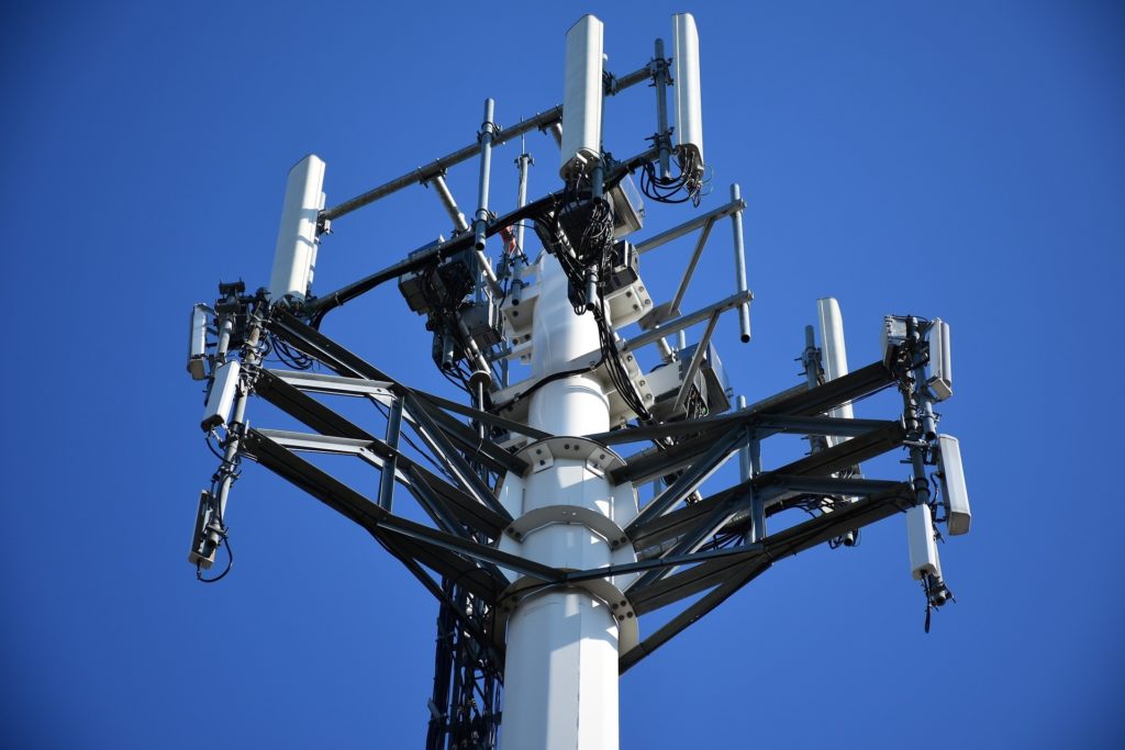
INSPECTION
Inspections of difficult structures such as bridges, utility towers, buildings, turbines, pipelines and roofs, or supply accurate 2D or 3D deliverables.
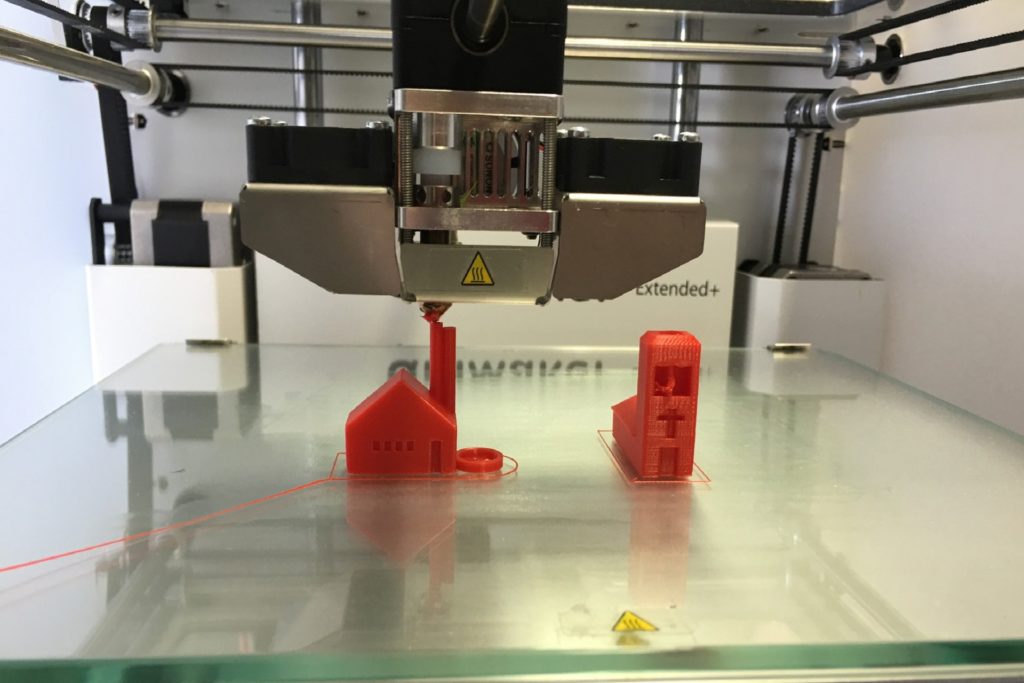
3D PRINTING, PROTOTYPING, and design on demand
Test parts early and frequently through iterative designs, it is an affordable technique to create functional prototypes for low cost, in no time and with a lot of freedom.
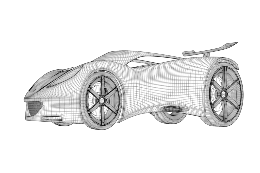
OBJECT 3D SCAN
3D scanning services for reverse engineering and computer aided inspection applications, as well as multiple and convenient purposes.
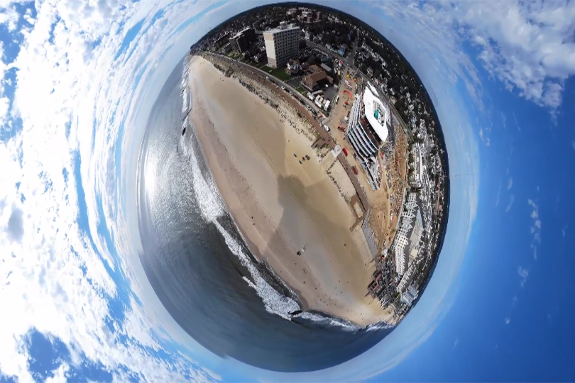
COMMERCIAL IMAGERY
Corporate videos, Real State, Marketing & Media, panoramic and 360° pictures. Deliverables with post-production editing or raw files.
CUSTOM SOLUTIONS
Any special project in mind? We are ready to help you. Let’s talk